
Professional Geographic Information System (GIS) & Mapping Services
Why Choose CFB GIS & Mapping?
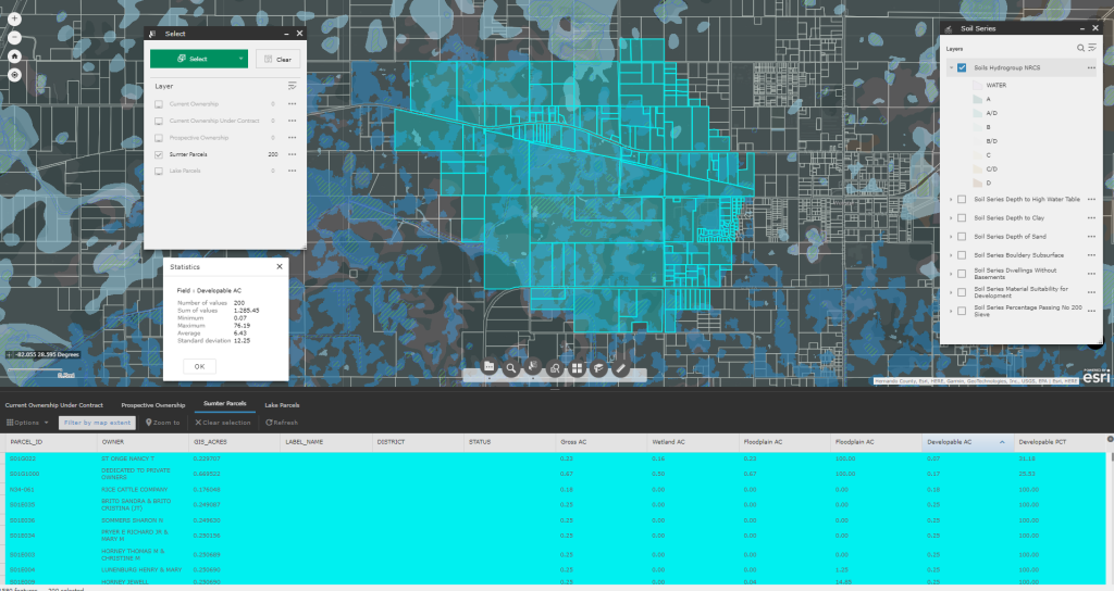
Seamless Data Integration: CFB’s GIS & Mapping division merges spatial data with various data streams to provide modern mapping services for our client’s projects.
Customized Solutions: The team is proficient in several software packages allowing us to offer tailored solutions, including real-time scheduling visualization and customized dashboards.
Curated Land Utilization Data: The GIS division at CFB has curated a comprehensive proprietary repository of regional land utilization data and metrics. This resource uniquely empowers a focus on tailored information for plan amendments, rezonings, and annexations. A dedicated team of in-house programmers and analysts maintains these datasets to meet specific client needs.
CFB's GIS team provides custom mapping services and specialty drawings to fit clients’ specific needs including:
- Schedule development and tracking
- Custom project mapping and presentations
- Community Development District (CDD) creation and support
- Deployment of a standardized address system that integrates multiple county businesses including E911, coordinates with the United States Postal Service and development of zip codes
- Implementation of organization-wide design and specification criteria
- Creation of marketing materials including specialized maps and sales packages
- Providing statistics to understand historical data and make informed decisions on future projects
- Maintain working relationships with local and state agencies
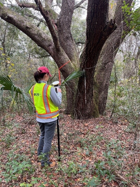
- GIS based site assessments and statistical demographic analyses
CFB GIS & Mapping uses the following Technologies:
- ArcGIS Desktop
- ArcGIS Online
- ArcGIS Enterprise
- ArcGIS 3D Analyst
- ArcGIS Geostatistical Analyst
- ArcGIS Network Analyst
- ArcGIS Spatial Analyst
- ArcGIS Publisher
- QGIS
- AutoCAD Civil 3D
- Tableau
- Smartsheet
- Python
Data CFB’s GIS team has maintained include:
- Land Development Constraints
- Land Entitlements
- Record Plats
- Construction As-builts
- Utility Design
- Project Schedules
- Cost Repositories
- Projected Sustainability
- 911 Databases
- Requisition Tracking
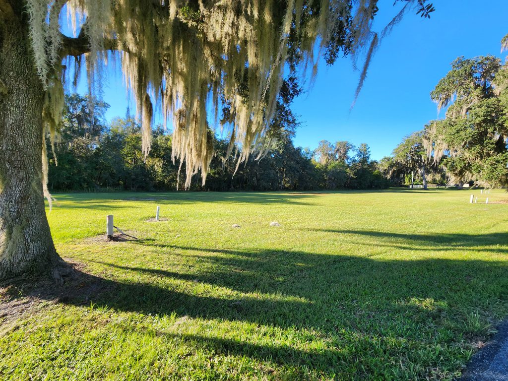
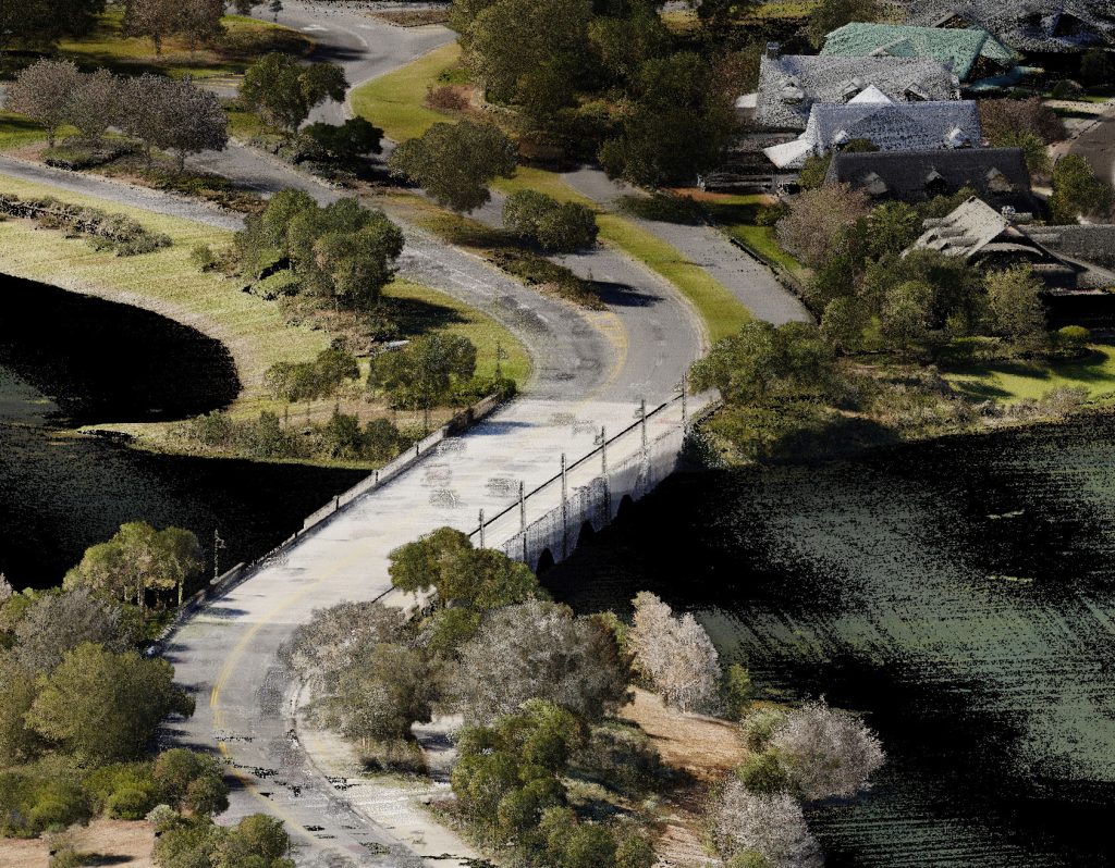
- Historical Aerial Imagery
- UAV Imagery
- Construction Phasing
- Maintenance Responsibilities
- Residential Development
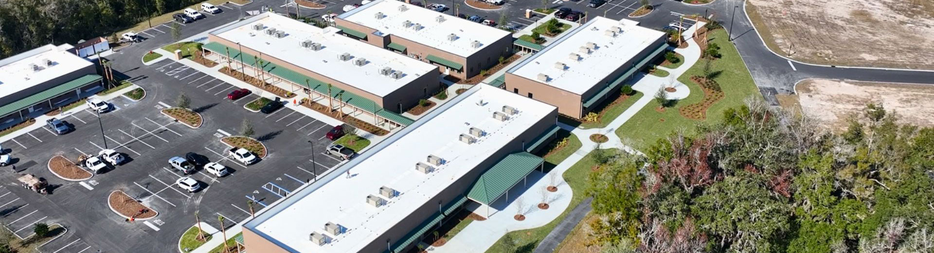
- Commercial Development
- Industrial Development
- Soil Borings
Projects CFB’s GIS team has delivered include:
- Drainage Studies
- Travel Time Studies
- Projected Land Utilization Studies
- Web Based Due Diligence Reporting
- Soil Analyses
- Interactive Utility Dashboards
- FEMA Revisions
- Cut\Fill Analyses
- Development Research Applications
- Historical Survey Research Applications
- Master Planning Interactive Map Applications
- Map Series for Budgeting and Planning
Related Projects
Experience the difference that decades of expertise, a broad skill set, and a client-focused approach can make in your next project.
Our GIS & Mapping Team
GIS & Mapping Team consists of:
- GIS Analysts
- GIS Technicians
- CAD Technicians
- Project Coordinator
- Programmers


Locations


CFB Ocala Has a New Home! Learn more about CFB Ocala.